Notice!
The RIESGOS project was completed on 29.02.2024. The content of this website will no longer be updated.
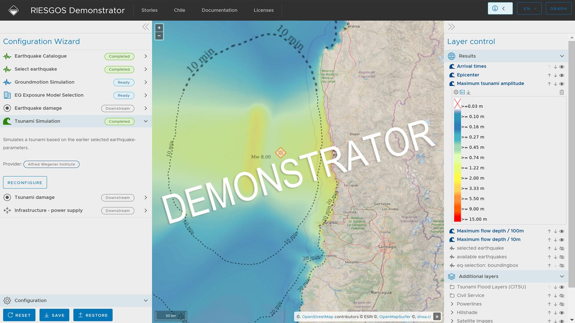
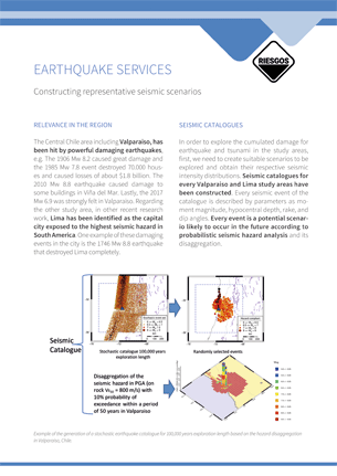
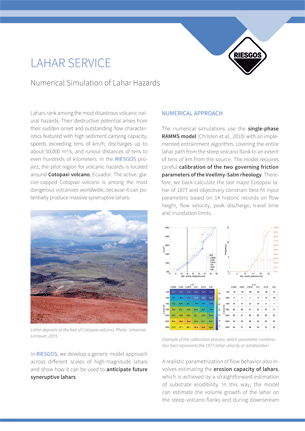
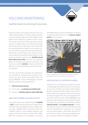
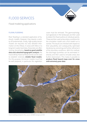
Scenario-based multi-risk assessment in the Andes region
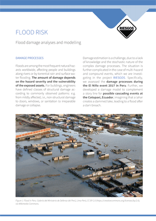
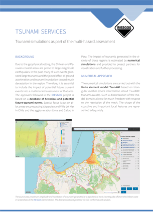
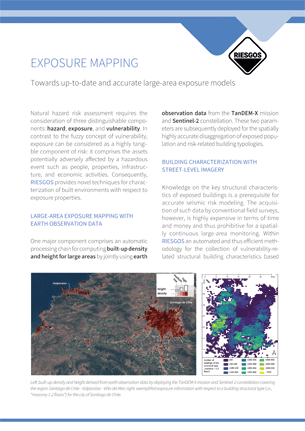
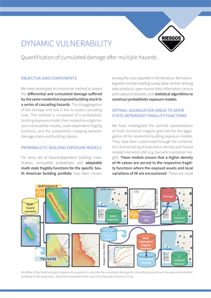
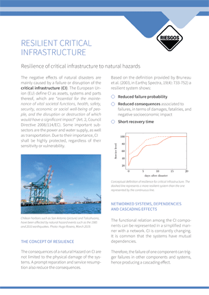
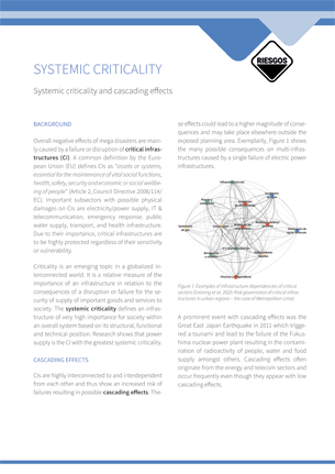
In recent decades, the risk to society due to natural hazards has increased globally. To counteract this trend, effective risk management is necessary, for which reliable information is essential. Most existing natural hazard and risk information systems address only single components of a complex risk assessment chain, such as, for instance, focusing on specific hazards or simple loss measures. Complex interactions, such as cascading effects, are typically not considered, as well as many of the underlying sources of uncertainty. This can lead to inadequate or even miss-leading risk management strategies, thus hindering efficient prevention and mitigation measures, and ultimately undermining the resilience of societies.
Therefore, experts from different disciplines work together in the joint project RIESGOS 2.0 (Scenario-based multi-risk assessment in the Andes region) and develop innovative scientific methods for the evaluation of complex multi-risk situations with the aim to transfer the results as web services into a demonstrator for a multi-risk information system. The project RIESGOS 2.0 builds on the achievements of the predecessor project RIESGOS (Spanish for “risks”).
RIESGOS 2.0 is funded by the German Federal Ministry of Education and Research (BMBF) as part of the funding measure “CLIENT II – International partnerships for sustainable innovations” of the framework programme “Research for Sustainable Development (FONA)”.
The project is supervised by the Project Management Jülich (PtJ).
The coordination of the project is under the responsibility of the German Aerospace Center (DLR).